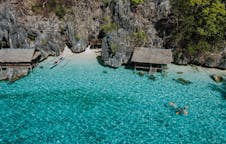
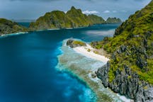
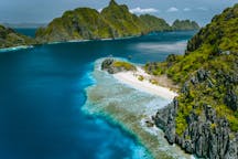
Information about Pagudpud
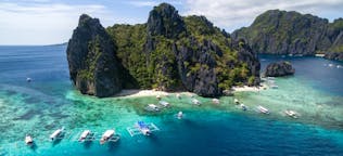
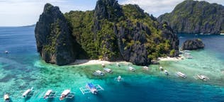
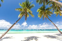
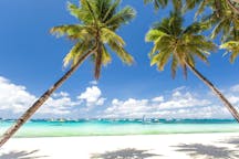
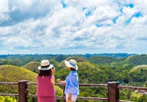
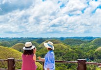
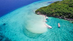
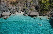
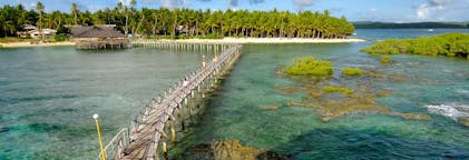
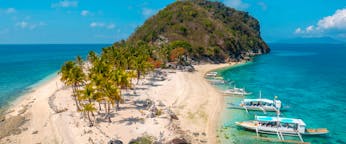
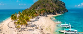
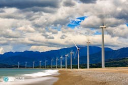
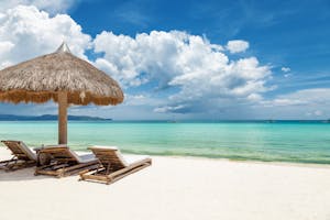
Pagudpud, officially the Municipality of Pagudpud (Ilocano: Ili ti Pagudpud; Filipino: Bayan ng Pagudpud), is a 4th class municipality in the province of Ilocos Norte, Philippines. According to the 2015 census, it has a population of 23,770 people. It is the northernmost settlement on Luzon Island and a popular tourist destination because of its resorts and beaches. In addition to tourism, people also make their living through farming, fishing and subsistence retailing. Recently, many windmills erected in Barangay Caparispisan.
Pagudpud was made a municipality on 5 July 1954 through the leadership of Constante Benemerito. It was Rafael "Totoy" Benemerito, son of Constante, who spearheaded the establishment of the first municipal hall, municipal health center, public plaza, and public market. It had previously been a part of the neighboring town of Bangui.
Geography
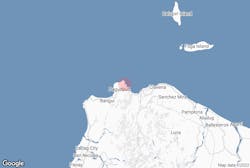
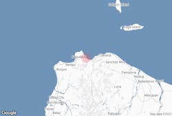
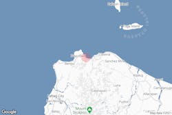
Pagudpud lies 74 kilometres (46 mi) north of Laoag City, the provincial capital, and 561 kilometres (349 mi) north of Manila. Maira-ira Beach is the northernmost tip of Luzon Island, located at 18°39′4.44″N 120°50′46.68″E on the Luzon Strait.
The town's topography includes mountains, hills, valleys and flat coastal land.
Barangays
Pagudpud is politically divided in 16 barangays:
Urban
Rural
Climate
Demographics
In the 2015 census, the population of Pagudpud was 23,770 people, with a density of 120 inhabitants per square kilometre or 310 inhabitants per square mile.
Religion
Roman Catholicism is the major religion in Pagudpud. Yet, there's also increasing numbers of members of other Christian Denominations such as Jehovah's Witnesses (with two congregations) and Iglesia ni Cristo. Islam, brought by Muslim immigrants, is also practiced in Pagudpud.
Local government
These are the current officials of Pagudpud:
Mayor: Rafael Ralph Benemerito II
Vice Mayor: Matilde Sales
Councilors:
Ferdinand R. Garvida
Efren B. Cimatu
Emilen G. Sales
Rajan L. Benemerito
Reynald Garvida
Joseph Caliw Caliw
Dane Sales
Wilfredo Ubasa
Government seal
Blue, Red, Yellow, and White, reflection of the colors of the Philippines 1954, the year Pagudpud was founded
Coconut Tree and Ricefield, represents as farming as one of the economic resources of the town, with coconut, palay and vegetables as its major products
Waterfall, represents Mabogobog falls, which is the source of a Mini Hydro Power Plant.
Mountain, Tree and Logs, represents the forestry resources of the town
Fish and Shrimps, represents its marine resoureces
Shell with Pearl, symbolizes the tourism potential of the town which is famous for its white beaches
North Star, stands for the location of the town of Pagudpud, which is in the northern tip of the Province.
Transportation
By land, Pagudpud is approximately a 90-minute bus ride from Laoag City. Several bus lines serve the Manila-Laoag route, namely Partas, Florida, Farinas, and Maria de Leon among others. Some bus lines serve also the Pan-Philippine highway, the Asian Highway ends here for Taiwan the 27th Nation, dropping by in Pagudpud, namely Chona Patrick, GMW, St. Joseph, Gabriel, and the Pan-Philippine highway route buses of Maria de Leon and Florida.
Content is taken from Wikipedia


Download the Philippines’ biggest travel marketplace to your phone to manage your entire trip in one place
Scan this QR code with your phone camera and press the link that appears to add the Philippines’ biggest travel marketplace into your pocket. Enter your phone number or email address to receive an SMS or email with the download link.